Service types
Bus routes and train lines are organized by service types. Each type has its own colour and symbol telling you when and where a route travels.
| Service Type | Description | Colours & Symbols |
|---|---|---|
| O-Train |
|
|
| Rapid |
|
|
| Night |
|
|
| Frequent |
|
|
| Connexion |
|
|
| Local |
|
|
| School |
|
|
| Shopper |
|
|
| Event |
|
|
| Replacement bus service |
|
|


A symbol with a white background means that the route only runs during certain times of the day, or on certain days of the week.
Other types of transit service
O-Train Line 1

The O-Train Confederation Line (Line 1) is a 12.5-kilometre electric light-rail service that connects 13 stations from Tunney’s Pasture in the west to Blair in the east.
- Identified by a red circle on maps and signs

- 12.5 km of rail running east to west from Blair Station to Tunney’s Pasture and through a 2.5 km downtown tunnel
- Peak service runs every 5 minutes or less
- Frequent service throughout the day and never more than 15 minutes after midnight or on weekends
- End-to-end travel time less than 25 minutes
- 13 stations – 4 underground
- Each two-car train will be able to move up to 600 passengers comfortably
- Can accommodate up to 10,700 passengers per hour, each way
- 100% accessible
- 100% electrified vehicles for a quiet ride with zero emissions
O-Train Line 2
The O-Train Trillium Line (Line 2) is an 8-kilometre diesel light-rail service running from Greenboro Station in the south to Bayview Station just west of downtown.
- Line 2 is shown in a green circle on maps and signs
- Connects to the Line 1 at Bayview Station
- Line 2 is served by 6 high-efficiency diesel engine trains
- Each train can accommodate 260 passengers
- Trains run 7 days a week, every 12–15 minutes
Rapid routes

Rapid routes provide high speed, station-to-station bus service.
- Identified by a blue circle on maps and signs
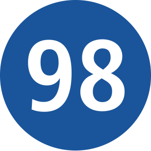
- Connections to the O-Train Line 1 all day, 7 days a week
- Use the Transitway and dedicated bus lanes
- Overnight, when O-Train Line 1 is not running, many Rapid routes will be extended to Rideau Station, serving all Line 1 stations en route. These trips will be identified as "N" (Night) trips.
Frequent routes

Frequent routes offer reliable, high frequency bus service along major roads.
- Frequent routes are shown in an orange hexagon on signs and maps

- Service every 15 minutes or less from 6 am to 6 pm on weekdays
- Operate 7 days/week
Connexion routes

Connexion routes offer convenient and reliable peak-period service between residential communities and the O-Train Line 1.
- Connexion routes are shown in a purple oval on maps and signs
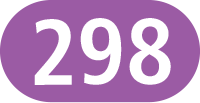
- Routes are numbered in the 200s
- Connect with the O-Train Line 1 at Blair Station from the east, Hurdman from the south, and Tunney’s Pasture from the west and southwest
- Operate on weekdays
Limited Connexion service in the west end
For a more direct trip, in the afternoon:
- Barrhaven Connexion routes bypass stations from Baseline to Westboro
In the morning, service to these stations is drop-off only.
Exceptions
- Routes 258 and 282 serve all stations along their route.
- Route 283 serves Bayshore and Pinecrest in the morning. In the afternoon, it only skips Westboro and Dominion.
Local routes
Local routes offer customized routing and schedules to serve destinations that are not on a Rapid or Frequent routes.
- Local routes are shown in dark grey rectangles on maps and signs
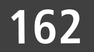
- Routes that connect to Line 1 are numbered below 100
- Routes that do not connect Line 1 are numbered 100–199